This is a unique Finnish cemetery is situated on land donated by Ole Baker and maintained by the Country of Forty Mile.

Driving directions – From Manyberries intersection with Highway 61, north on the Black and White Trail for three miles, one mile east on Twp. Rd. 62 (Elkwater Rd.), one mile north.

Courtesy of Medicine Hat and District Genealogical Society (MHDGS)

Deaths

Longevity

Address

Range Road 55 south of Township Road 62
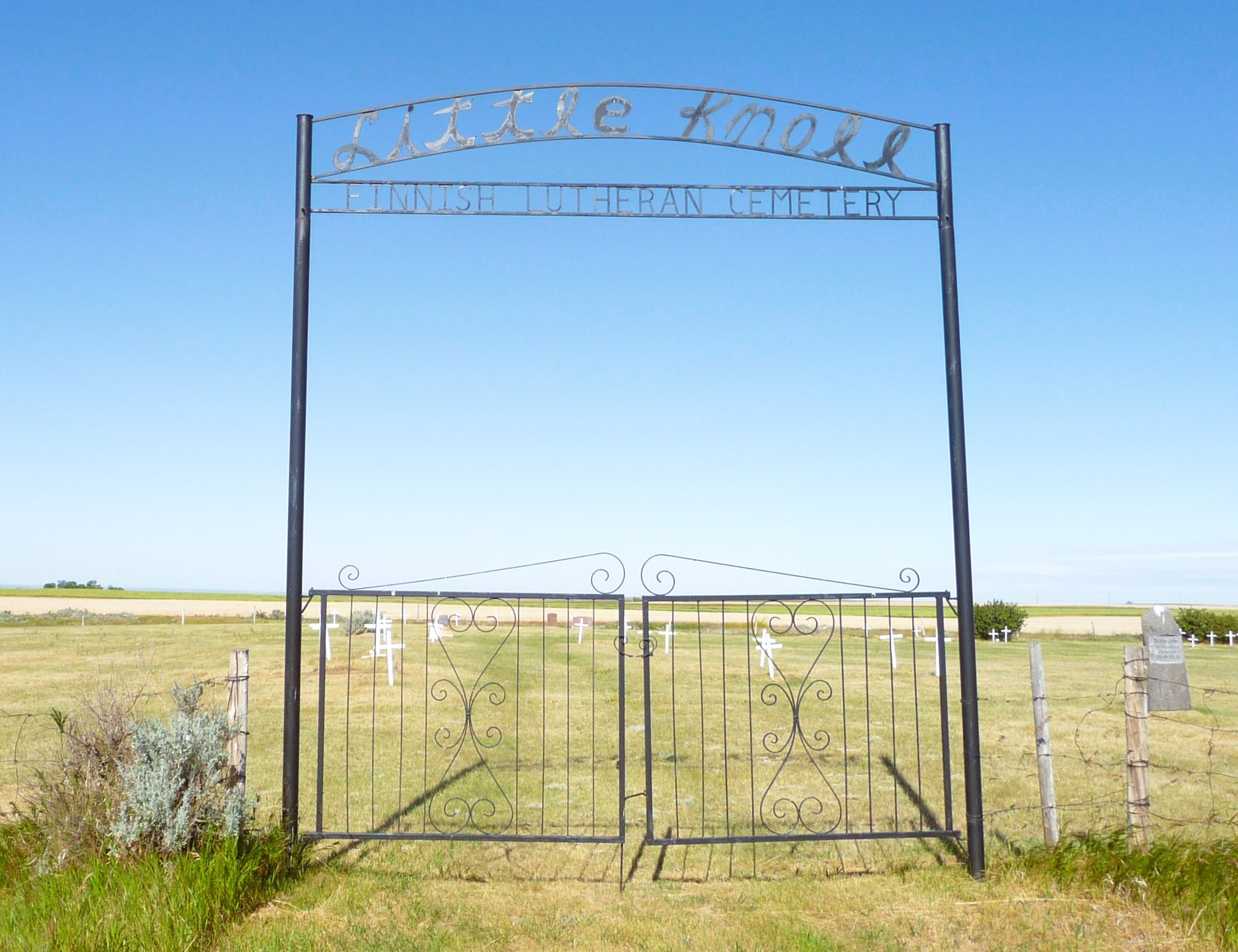
Nearest Populated Centre: Manyberries,
Province: Alberta

Map Location

Latitude, Longitude
49.44983, -110.65668

Map Location

Search for:
RESET
Surname Given Name Born Died Age Photo(s) Cemetery Obituary Narrative R Code

The 25 most common surnames found in this cemetery.

loader

The 25 most common given names found in this cemetery.

loader

Other Cemeteries

Patricia Cemetery (Newell County)

Range Road 131 S of Highway 544/876 , Patricia , Alberta

St. Paul's Lutheran Cemetery (Special Area No. 2)

Range Road 162 and Township Road 302 , Hanna , Alberta

Torrington Zion Lutheran Cemetery (Kneehill County)

322043 Rge Rd 261 , Torrington , Alberta

Walsh Community Cemetery (Cypress County)

Township Road 114 and Range Road 13 , Walsh , Alberta

Blairmore Catholic Cemetery (Crowsnest Pass)

25th Ave , Blairmore , Alberta

Banff Town Cemetery (Banff National Park)

604 Buffalo Street , Banff , Alberta

Rosemary North Cemetery (Newell County)

Range Road 160 N of Highway 550 , Rosemary , Alberta

Hartleyville Cemetery (Cardston County)

Township Road 52 W of Range Road 275 , Hartleyville , Alberta

Lille Cemetery (Crowsnest Pass)

Lille , Lille , Alberta

East Olds Baptist Cemetery (Mountain View County)

Highway 27 (east of Olds) , Olds , Alberta

Discover Alberta Ancestors