Deaths

Longevity

Address

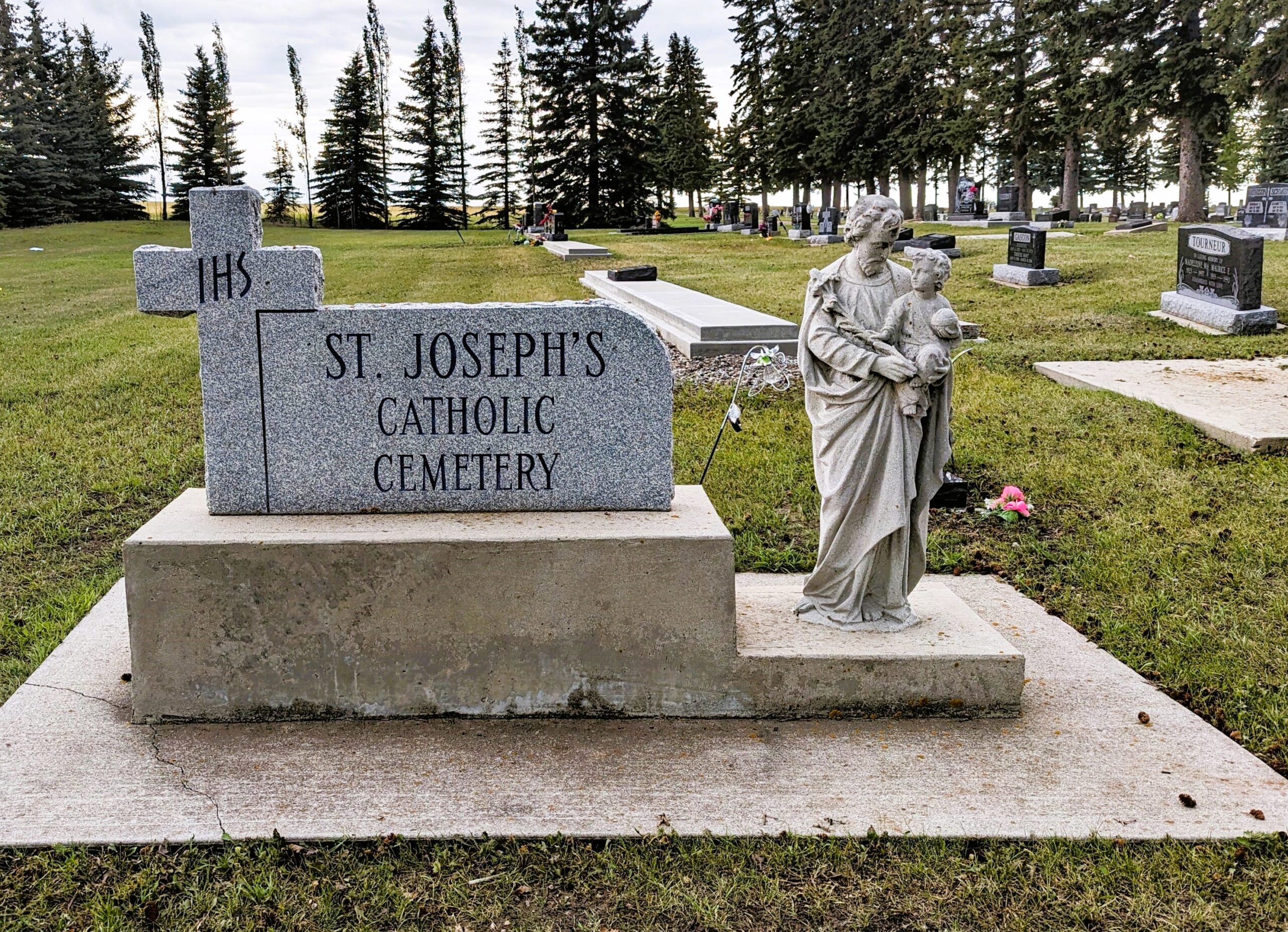
Secondary Highway 583 just west of Three Hills
Nearest Populated Centre: Three Hills,
Province: Alberta

Map Location

Latitude, Longitude
51.70685, -113.28227

Map Location

Search for:
RESET
Surname Given Name Born Died Age Photos Cemetery R Code

The 25 most common surnames found in this cemetery.

loader

The 25 most common given names found in this cemetery.

loader

Other Cemeteries

Prospy Cemetery (Forty Mile County)

Highway 885, Township Road 81 and Range Road 92 , Etzikom , Alberta

Church of God Cemetery (Schuler, Cypress County)

Twp Rd 162 & Rge Rd 23 , Schuler , Alberta

Baptist Freedom Settlers Cemetery (Cypress County)

SH 515 & Range Rd 31 , Josephburg , Alberta

Cessford Cemetery (Special Area No. 2)

Highway 561 E of Highway 876 , Cessford , Alberta

Jewish Memorial Chapel Cemetery (Calgary)

101 17818 37 St SW , Calgary , Alberta

Kimball Cemetery (Cardston County)

Township Road 21 / Range Road 250(B) N of Kimball , Kimball , Alberta

Beiseker Community Cemetery (Rocky View County)

Range Rd 262, south of Township Rd 282 , Beiseker , Alberta

Coffin Handle Butte Cemetery (Vulcan County)

top of Coffin Handle Butte east of Milo AB , Milo , Alberta

Munson Cemetery (Starland County)

Highway 9 south of Munson , Munson , Alberta

Discover Alberta Ancestors