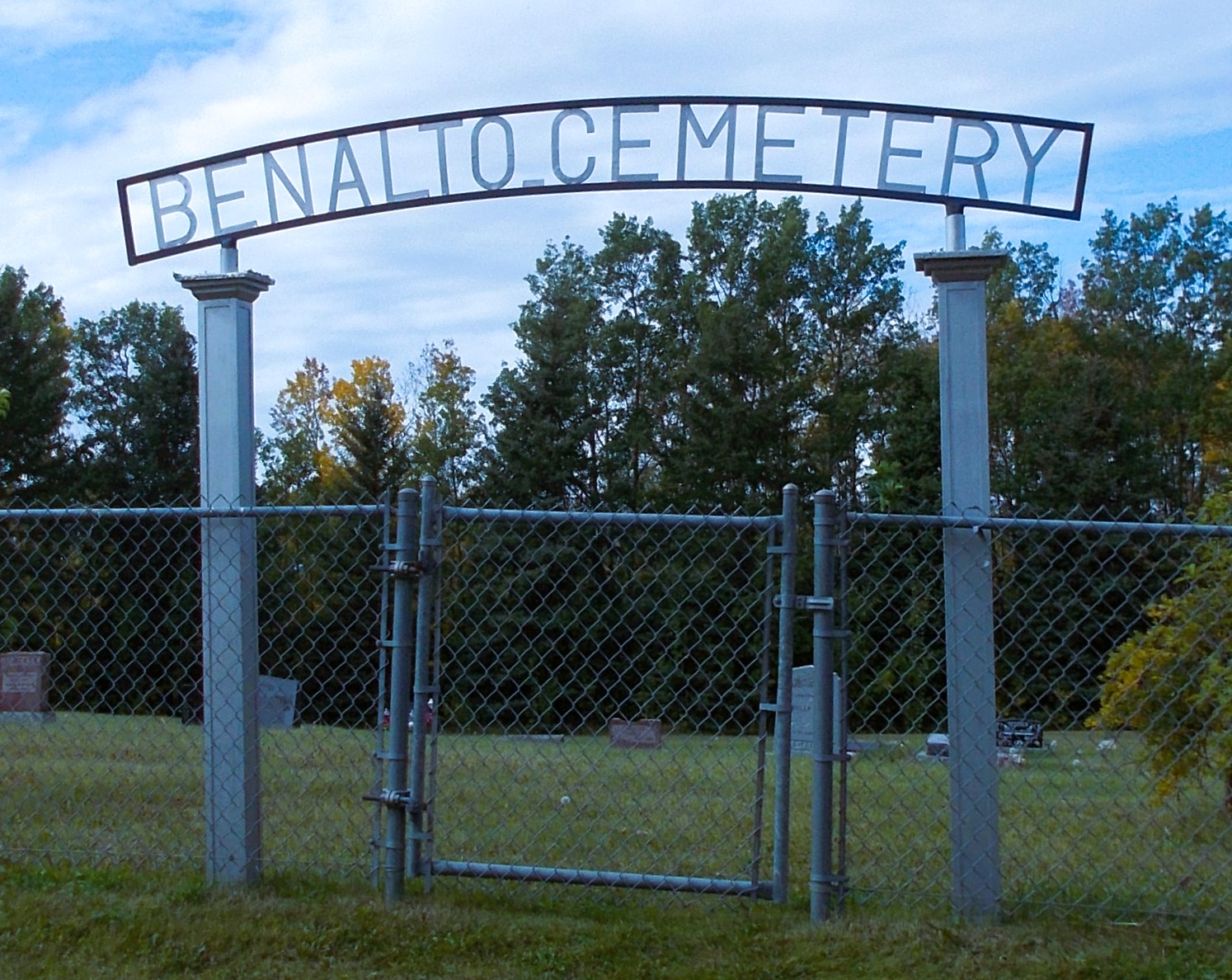
Benalto is a hamlet south of Highway 11, approximately 30 kilometers west of Red Deer. John T. Moore (1844-1917), the politician and raiway promoter behind the Alberta Central Railway – built west from Red Deer in 1910 – named the townsites of Alhambra and Benalto on that line. This hybrid description means “high hill” from the Gaelic ben (“hill”) and Latin alto (“high”).

Deaths

Longevity

Address

Range Road 25 S of Township Road 385
Nearest Populated Centre: Benalto,
Province: Alberta

Map Location

Latitude, Longitude
52.29779, -114.26391

Map Location

Search for:
RESET
Surname Given Name Born Died Age Photos Cemetery R Code

The 25 most common surnames found in this cemetery.

loader

The 25 most common given names found in this cemetery.

loader

Other Cemeteries

Baptist Freedom Settlers Cemetery (Cypress County)

SH 515 & Range Rd 31 , Josephburg , Alberta

Chevra Kadisha Erlton Street Cemetery (Calgary)

32 30th Ave SW , Calgary , Alberta

Hussar Cemetery (Wheatland County)

Highway 561 (east of Hussar) , Hussar , Alberta

Leavings Cemetery (MD of Willow Creek)

2nd Ave East , Granum , Alberta

Torrington Zion Lutheran Cemetery (Kneehill County)

322043 Rge Rd 261 , Torrington , Alberta

Huber Family Cemetery (Cypress County)

Twp Rd 200 & Rge Rd 11 , Sandy Point , Alberta

Mount Auburn Cemetery (Rimbey, Ponoka County)

4902 - 50th Avenue , Rimbey , Alberta

Alston Cemetery (Vulcan County)

Hwy 527 & Twp Rd 142; SW of Champion , SW of Champion , Alberta

St. Mary's Cemetery (Calgary)

3157 Erlton St SW , Calgary , Alberta

Knoll Cemetery (Michichi, Starland County)

Township Road 31-0 E of Highway 849 , Michichi , Alberta

Discover Alberta Ancestors