Courtesy of Medicine Hat and District Genealogical Society (MHDGS)

Deaths

Longevity

Address

Twp Rd 74 & Range Rd 31
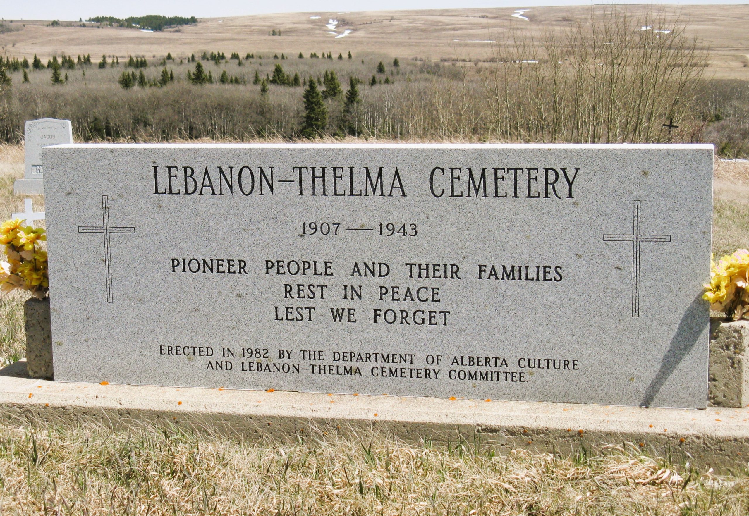
Nearest Populated Centre: Irvine,
Province: Alberta

Map Location

Latitude, Longitude
49.60307, -110.29783

Map Location

Search for:
RESET
Surname Given Name Born Died Age Photo(s) Cemetery Obituary Narrative R Code

The 25 most common surnames found in this cemetery.

loader

The 25 most common given names found in this cemetery.

loader

Other Cemeteries

Evangelical Lutheran Church of Zion (Forty Mile County)

Township Road 62 and Range Road 55, east of Highway 889 , Manyberries , Alberta

Bottrel Cemetery (Rocky View County)

Range Rd 43 & Township Rd 283 , Bottrel , Alberta

Comrey Cemetery (Forty Mile County)

Range Rd 62 north of Twp Road 22 , Manyberries , Alberta

Foothills Cemetery (Foothills County)

176044 402 Ave W , Diamond Valley , Alberta

St. Margaret's Cemetery (Eagle Butte, Cypress County)

Eagle Butte Rd & Township Rd 74 , Eagle Butte , Alberta

Bloomsbury Pentecostal Cemetery (Barrhead County)

Township Road 604 and Range Road 35 , Bloomsbury , Alberta

Vockeroth Cemetery (Cypress County)

Township Road 120 and Range Road 30 , Irvine , Alberta

Gladys Union Cemetery (Foothills County)

370004 240 St E , Gladys , Alberta

Caldwell-Moir Cemetery (Cardston County)

Range Road 280 S of Township Road 25A/B , Mountain View , Alberta

Chancellor Cemetery (Wheatland County)

S of AB 561E on Twp Rd 245A , Chancellor , Alberta

Discover Alberta Ancestors