
603 - 3A Street South
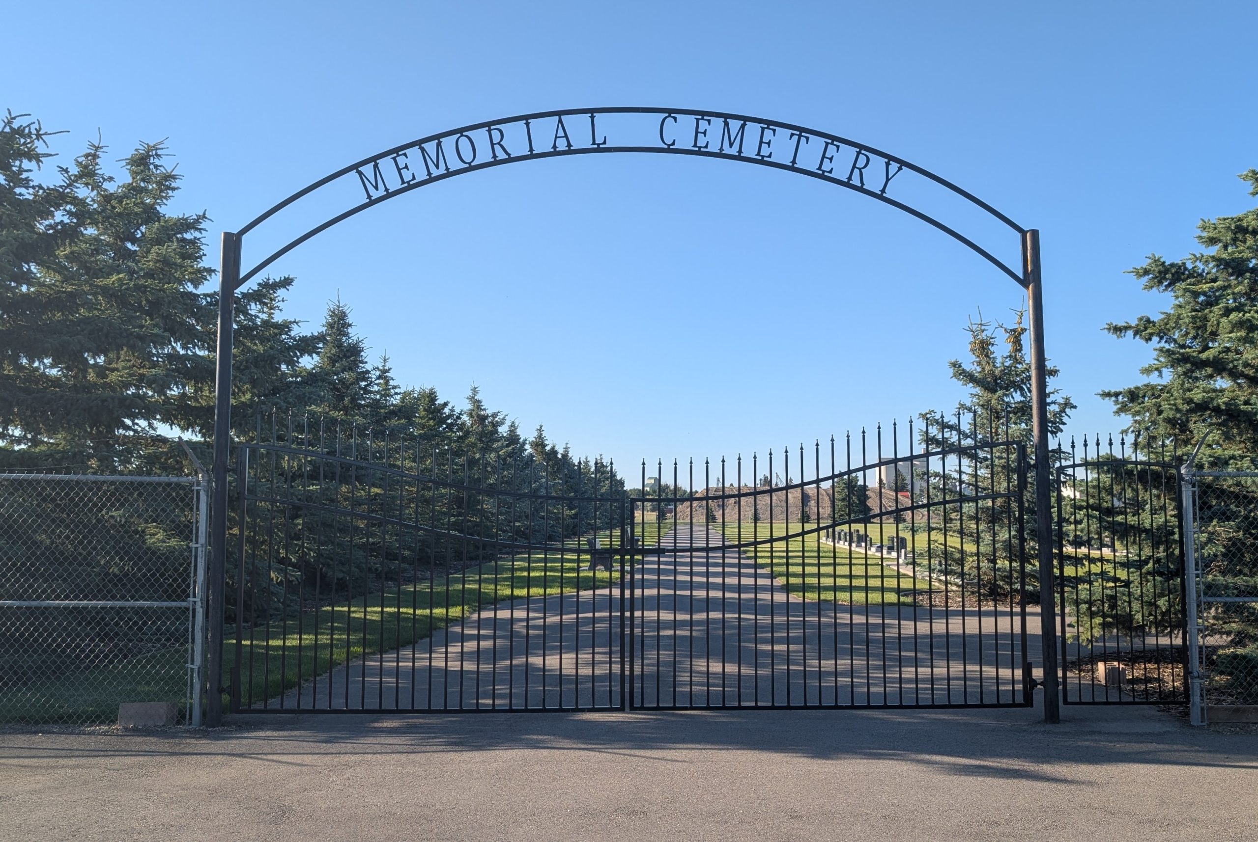
The Picture Butte Memorial Cemetery in Picture Butte, Lethbridge County, Alberta, is a modest but meaningful resting place that reflects the local community’s faith, heritage, and history.
As is the case with many small town cemeteries, the establishment of Picture Butte Memorial Cemetery is interwoven with the religious community in town — in this case, the Netherlands Reformed Congregation. Cemeteries tied to church congregations are common in rural Alberta; they serve not only as burial grounds but as symbols of continuity, faith, local identity and memory. The cemetery likely developed as the congregation grew and needed formal burial space for its members and families in the community.
Its association with the Netherlands Reformed Church suggests that it very likely came into use during the mid‑20th century, as Picture Butte’s population increased. Picture Butte itself was undergoing significant growth in the 1920s‑30s, especially with the arrival of the Lethbridge Northern Irrigation System in 1923 and the railway in 1925. These developments led to settlement and town services increasing, including religious congregations and their associated institutions (church buildings, schools, cemetery plots). The Netherlands Reformed Congregation is one of the religious bodies in Picture Butte and its establishment of a cemetery underscores its permanent stake in the town.
In the early 20th Century much of what is now Picture Butte was homesteading territory—dry land farming and ranching under challenging conditions. Significant change came with the irrigation system, which transformed much of southern Alberta’s dry land into productive agricultural land.
The railway further tied the town to commerce and provided easier access to markets, goods, people — which encouraged more settlers to stay. As families rooted themselves, religious institutions followed, and with those, the need for formal burial places. Over time, Picture Butte transitioned from a hamlet (post‑1920s) to village (1943) and then town (1961) status.
Address
603 - 3A Street South
Nearest Populated Centre: Picture Butte,
Province: Alberta
Map Location
Latitude, Longitude
49.86912, -112.77434
Map Location
| Surname | Given Name | Born | Died | Age | Photos | Cemetery | R Code |
|---|---|---|---|---|---|---|---|
The 25 most common surnames found in this cemetery.

The 25 most common given names found in this cemetery.