Township Road 114 and Range Road 13

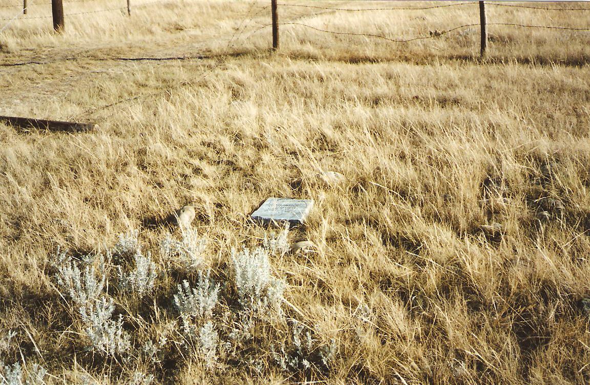
This tiny cemetery is located one mile west and half a mile north of Walsh. This final resting place is at the end of a prairie trail just north of busy Highway 1. This long-forgotten plot was found accidentally. The only grave marker has been broken and was found in some grass near an east/west fence line that passes just south of the cemetery. We can assume that the plot was once fenced with page wire, as there is a messy ball of wire just east of the plot. The grass is very short due to cattle grazing in this pasture.
The town of Walsh has never contained a church building. Services were first held in a small community hall located north of the railway station. This building was later moved to the south side of the tracks and was used as a church from 1905 to 1925. Some of the ministers serving this tiny church were the Reverends: J.V. Harvey 1912, J. Sinclair 1913, E.J. Starley 1916, Lockhart 1917 to 1919, Bainbridge, Layton, and J.W. Morrow in the 1930’s.
Some of the student ministers who practiced preaching and doing community service for two months in summer during the 1930’s were Hugh Irvin, Harold Bailey, Raymond Horde and Cliff Elson.
Courtesy of Medicine Hat and District Genealogical Society (MHDGS)
Address
Township Road 114 and Range Road 13
Nearest Populated Centre: Walsh,
Province: Alberta
Map Location
Latitude, Longitude
49.94599, -110.07303
Map Location
| Surname | Given Name | Born | Died | Age | Photos | Cemetery | R Code |
|---|---|---|---|---|---|---|---|
The 25 most common surnames found in this cemetery.

The 25 most common given names found in this cemetery.

