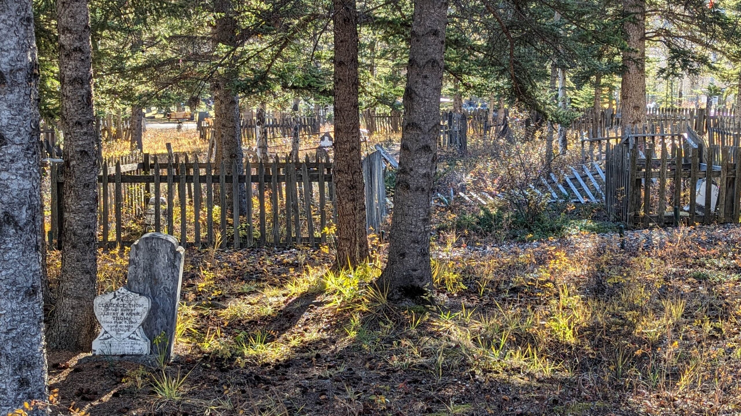
Deaths

Longevity

Address

1250 Palliser Trail
Nearest Populated Centre: Canmore,
Province: Alberta

Map Location

Latitude, Longitude
51.0929, -115.34162

Map Location

Search for:
RESET
Surname Given Name Born Died Age Photo(s) Cemetery Obituary Narrative R Code

The 25 most common surnames found in this cemetery.

loader

The 25 most common given names found in this cemetery.

loader

Other Cemeteries

Torrington East Cemetery (Kneehill County)

330007A Hwy 805 , Torrington , Alberta

Reist Mennonite Cemetery (Special Area No. 2)

Rge Rd 100a, Special Area No. 2 , N of Youngstown , Alberta

Prairie Sky Cemetery (Calgary)

12800 100 St SE , Calgary , Alberta

West Zion Mennonite Cemetery (Mountain View County)

2155 Twp Rd 304 , Carstairs , Alberta

Ferrybank Cemetery (Ponoka County)

Highway 795 and Range Road 251 , Ponoka , Alberta

Evangelical Lutheran Church of Zion (Forty Mile County)

Township Road 62 and Range Road 55, east of Highway 889 , Manyberries , Alberta

Gaetz Cemetery (Clearwater County)

Range Road 41 S of Township Road 380 , Condor , Alberta

Baptist Freedom Settlers Cemetery (Cypress County)

SH 515 & Range Rd 31 , Josephburg , Alberta

Church of God Cemetery (Walsh, Cypress County)

Twp Rd 100 & Range Rd 12 (Graburn Road) , Walsh , Alberta

St. Anne's Cemetery (Josephburg, Cypress County)

East of Range Road 30, south of Township Road 94 , Josephburg , Alberta

Discover Alberta Ancestors